About the Dandeli region
Dandeli Travel Guide
Dandeli sits in Uttara Kannada district, Karnataka, in the Western Ghats. It is approx. 125 km from goa and at approx. 1,551 ft above sea level. Steep river valleys, dense forest cover, and a landscape shaped by the Kali River, which runs through the region on its way from the Western Ghats toward the Arabian Sea.
This page covers the wider Dandeli region generally — it is editorially separate from our own property pages. For details on the camp itself, see The Camp.
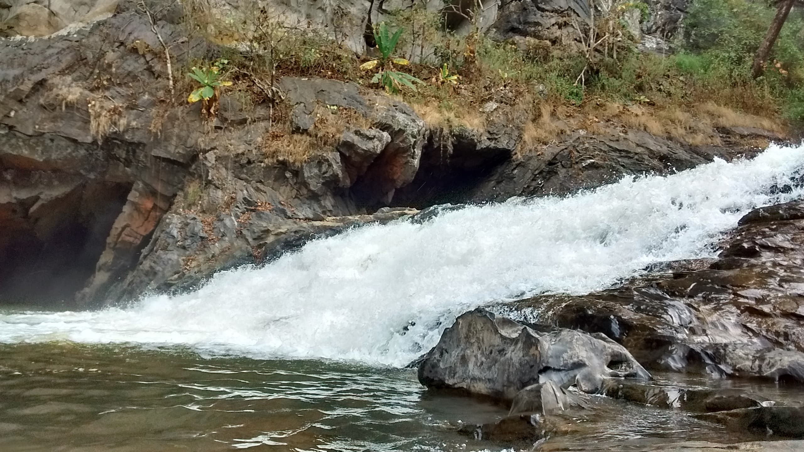 Narayan21, CC BY-SA 4.0, via Wikimedia Commons
Places that define the region
Kali River
The river that defines the region — source of its rafting, kayaking, and much of its scenery.
Syntheri Rocks
Tall limestone formations shaped by the river over a very long span of time, reached by a short forest trail.
Kavala Caves
A limestone cave system a short distance from Dandeli town.
Supa Dam
A large hydroelectric dam upstream, whose release schedule affects downstream water levels and rafting conditions.
A working landscape
Dandeli's forests are a working landscape as well as a tourist destination — home to villages, a forest department, and a protected tiger reserve. Visit with that in mind.